THE SOUTH LEINSTER WALK
The South Leinster Way is a long-distance walking route which runs from Kildavin, Co. Carlow to Carrick-on-Suir in Co. Tipperary covering 102 kilometers (64 miles) in length and ascending some 1600 meters.
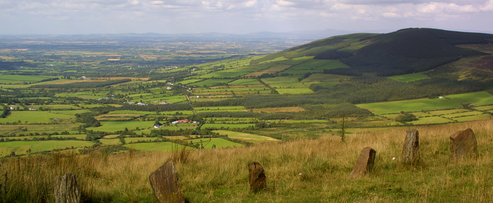
The predominant features in the landscape are Mount Leinster, situated close to Borris and Brandon Hill, located adjacent to the boating towns of Graiguenamanagh and Tinnahinch. The County Carlow stretch of this varied trail from Kildavin to Graignamanagh leads the walker between some very fine lofty summits, follows the towpath along the River Barrow and passes through medieval towns and ancient sites.
STAGE 1: KILDAVIN - BORRIS 22KM (14 MILES)
From Kildavin the route follows quiet country roads but soon ascends via steep dirt roads to the forest. Magnificent views of the surrounding lowlands may be enjoyed from the Nine Stones vantage point. These nine small stones are said to commemorate nine shepherds lost on Mount Leinster in some distant winter storm. Mount Leinster at 796 meters is the highest hill in the Blackstairs Mountains, while the mast on top transmits RTE television and radio to the region.
STAGE 2: BORRIS - GRAIGUENMANAGH 12 KM (7 1/2 MILES)
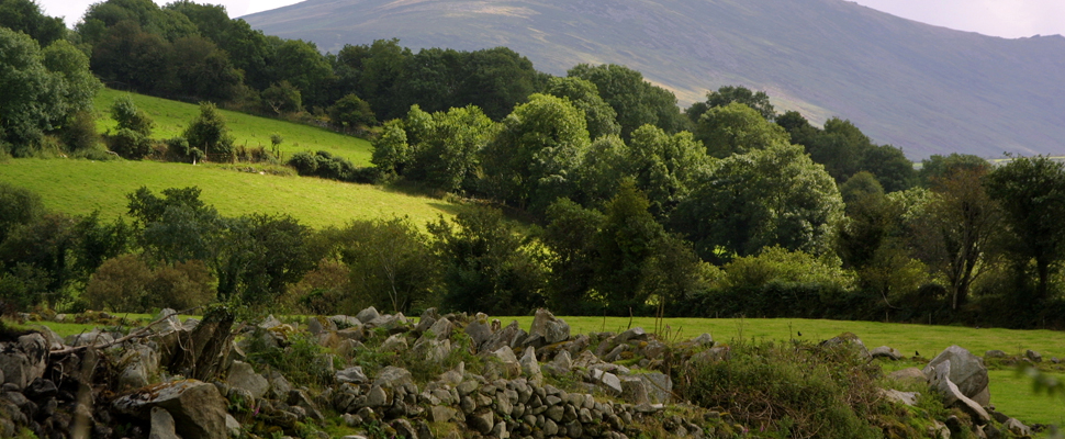
This stretch follows the towpath along the River Barrow, and is particularly attractive as it passes through rich deciduous woodland and old mills. Graiguenamanagh is the end of this stage - a peaceful quayside town lying in the county of Kilkenny but connected via a bridge over the River Barrow to its twin village of Tinnahinch in Co. Carlow.
ST. MULLINS - 6.2 KM - (3 MILES)
Beginning from the Heritage centre the walk passes the old mill to the River Barrow and follows the banks to the Old Lime kiln. It then turns into Bahana Wood for a short time and exits back to the road which returns to the village.
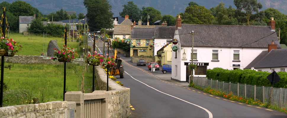
BALLYMURPHY
Ballymurphy has two Sli na Slainte routes which have been developed by Ballymurphy Community Group. Both afford wonderful hillside views and bracing mountain air.
WALSHETOWN SLI - 7.5 KM (4 MILES)
The Walshestown Sli is 7.5km in length and starts at the Community Centre where it follows the road past the old Corn Mill and then left through the Sweep and the conifer wood. Turn left along the Bog road; continue over the Holocause River and past the limekiln on your right. Follow the road as it rises steeply, turning left to begin the descent. Walk the winding road back to Ballymurphy village and turn left at the School to bring you back to your starting point.
KNOCKMULGURRY SLI - 7.7KM (4 MILES)
The Knockmulgurry Sli is 6.7km in length and also starts at the Community Centre. Follow the route as above, past the conifer wood. On reaching the bog road on your left, continue along the Knockmulgurry road past Sturra peak and Cahier's Den (lair of the famous Highwaymen). Notice the walls of the old Tower House and the "Scionsa" or Spring Watercourse on the Mountain. Turning right, the scenic road brings you back to the Sweep and your starting point at the Community Centre
source:ireland.com